
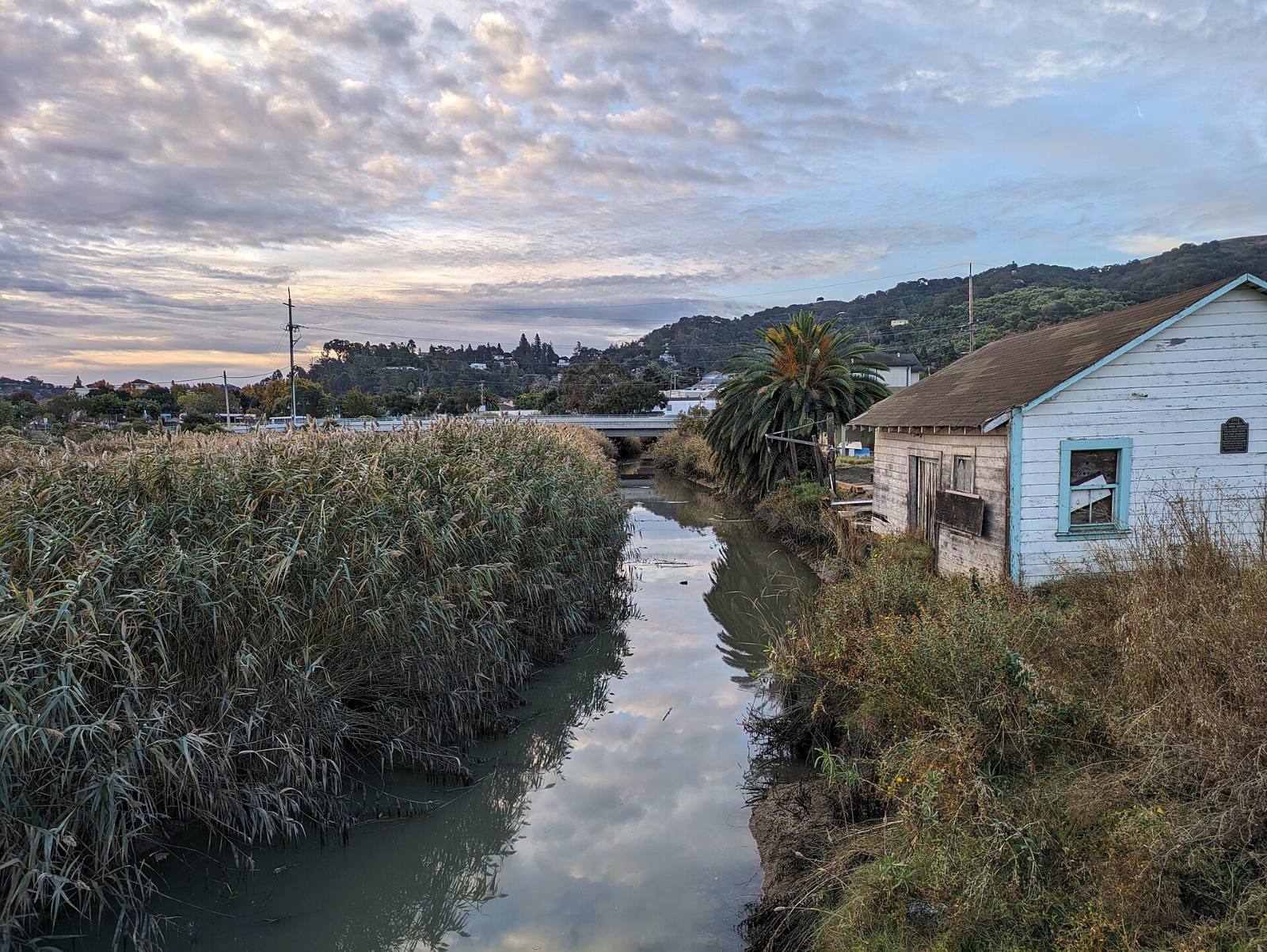
Photo above: Radke Martinez Regional Shoreline on the Carquinez Strait in Martinez, California, November 2023. Mx. Granger, CC0, via Wikimedia Commons.

Some Martinez homes are in one, many are in neither, and you can check any single address yourself. For fire, look up the parcel on the state fire hazard map for Martinez dated February 24, 2025, which shows only high and moderate zones inside city limits. For flood, look up the address on FEMA’s flood map, and pay extra attention near Alhambra Creek, which flooded downtown in the New Year’s storm of 1997.
Two lookups, then the seller’s Natural Hazard Disclosure. Here’s what each one tells you and where Martinez gets tricky.
Which parts of Martinez are in a fire hazard zone?
Mostly the hills on the western and southern edges of town. The State Fire Marshal’s Local Responsibility Area map for the City of Martinez, dated February 24, 2025, shades land inside city limits in only two levels: high and moderate. The high band follows the western and southwestern hillsides, the moderate areas sit next to it, and much of the rest of the city is marked as unzoned (CAL FIRE, “Local Responsibility Area Fire Hazard Severity Zones, City of Martinez,” February 24, 2025, posted by Con Fire, checked September 24, 2026).
That same map also shows the hills outside the city line. Those are State Responsibility Area lands, zoned by CAL FIRE under separate maps that took effect April 1, 2024, and some of that land reaches very high (same map legend). If your home is in unincorporated Martinez rather than inside the city, check which kind of land you are on.
A parcel-level look beats a citywide summary every time. Open the Fire Hazard Severity Zone viewer from Con Fire’s Local Responsibility Area Maps page, type the address, and zoom in to the lot.
When did the Martinez fire maps change?
In 2025. Here is the order of events, so you know which map counts:
- January 7, 2009. The city’s older map showed only very high zones. The City of Martinez still describes that 2009 map on its Fire Hazard Severity Zones page and says it was never adopted by the city (City of Martinez, Fire Hazard Severity Zones page, checked September 24, 2026).
- February 24, 2025. The State Fire Marshal issued new local maps for Contra Costa County and its cities, with moderate, high and very high levels. The Martinez map carries this date (CAL FIRE map, above).
- March 4, 2025. The city posted that the new maps would be ratified by Contra Costa County within 120 days, not by each city, because Martinez gets its fire service from the Contra Costa County Fire Protection District, known as Con Fire (City of Martinez news, “New Fire Hazard Severity Zones Maps Released by Cal Fire,” March 4, 2025).
- July 10, 2025. Con Fire says the updated maps became effective on this date (Con Fire, Local Responsibility Area Maps page, checked September 24, 2026).
The city’s own fire zone page hasn’t caught up. It still says new maps are coming. Go by the Con Fire viewer and the February 2025 map.
Does a fire zone mean my home is at high risk?
Not exactly. The map rates hazard, not risk. The city’s March 2025 post explains that hazard looks at physical conditions like vegetation, terrain, embers and fire weather over a 30 to 50 year period, and leaves out things like home hardening and brush clearing. Risk is the damage a fire could do under current conditions, and the city notes that insurance companies use their own risk models (City of Martinez news, March 4, 2025).
So a moderate zone doesn’t mean nothing can happen, and a high zone doesn’t tell you how a particular roof and yard would do. Look at both the map and the lot.
Is my Martinez home in a FEMA flood zone?
You find out by address. The City of Martinez engineering page walks you through it: go to FEMA’s Flood Map Service Center, search the street address, open the map, and use the FIRMette tool to save a printable PDF of your area (City of Martinez, GIS and FEMA page, checked September 24, 2026).
What to look for on that map:
- The zone letters on your lot. A zone starting with A or V is a Special Flood Hazard Area, which is the flood box on the state disclosure form.
- Where the creeks run. Alhambra Creek runs through the middle of town and drains into the Carquinez Strait at Martinez (Contra Costa Resource Conservation District, Alhambra Creek Watershed page, checked September 24, 2026). Homes close to the creek and its side channels deserve the closest look.
- The waterfront. Low ground near the marina and the shoreline is worth zooming into as well.
Save the FIRMette with the date on it. You’ll want it when you talk to an insurance agent.
Has Alhambra Creek flooded downtown Martinez?
Yes. The severe storm of New Year’s 1997 flooded Martinez, and a photo from that storm shows water running at Castro and Main Street. That flood led to a community meeting on March 3, 1997, and eventually to the Alhambra Creek Watershed Management Plan, published in April 2001, whose first goal is to reduce flood damage (Alhambra Watershed Council, report to the Martinez City Council, May 2011, in the city’s meeting records).
Heavy rain still causes trouble. In its November 1, 2024 storm notice, the city told residents to expect localized flooding, power outages and downed trees once the soil is saturated (City of Martinez news, “Storm Information,” November 1, 2024).
A flood long ago doesn’t tell you what the next storm will do. It does tell you to read the FEMA map and the disclosures carefully for any home near the creek.
What does Martinez offer when a storm is coming?
Sandbags, plus alerts. From the same November 2024 notice (City of Martinez news, “Storm Information,” November 1, 2024):
- Empty sandbags at City Hall, 525 Henrietta Street, limit 10.
- Sand filling stations (bring your own shovel) at Church Street in the church parking lot, the upper lot at Rankin Aquatic Center, Ferry and Allen Streets, and the west end of F Street off Alhambra Avenue.
- Alerts. Sign up for Martinez Alerts, the city’s own system, and register with the Contra Costa County Community Warning System.
If you own on a floodplain lot and plan a big remodel, also read the city’s Floodplain Information page. It posts the Building Division’s substantial damage and substantial improvement procedure for homes in the floodplain (City of Martinez, Floodplain Information page, checked September 24, 2026).
What will the Natural Hazard Disclosure show?
It’s the state form the seller fills out about six mapped hazards. California Civil Code 1103.2 lists them: a FEMA Special Flood Hazard Area (any Zone A or V), an area of potential flooding from dam failure, a high or very high Fire Hazard Severity Zone, a wildland area with substantial forest fire risks, an earthquake fault zone, and a seismic hazard zone (California Legislative Information, Civil Code 1103.2, checked September 24, 2026).
One Martinez wrinkle: a moderate fire zone isn’t one of those boxes. A home in the moderate band on the 2025 map can come back with no fire box checked. Check the viewer yourself either way. For anything legal in the disclosure package, ask a real estate attorney.
How do fire and flood zones affect insurance?
Ask a licensed insurance agent or broker. We don’t give insurance advice. Two official places to start:
- FEMA’s FloodSmart site explains flood insurance and notes that standard homeowners policies generally leave out flood damage (FloodSmart.gov, checked September 24, 2026).
- The California Department of Insurance answers consumer questions at 1-800-927-4357 (California Department of Insurance, Getting Help page, checked September 24, 2026).
Get real quotes on the actual address during your inspection period, while you can still back out. That’s when a surprise premium is easiest to deal with.
Questions people also ask
Is Martinez in a very high fire hazard zone?
Inside city limits, the State Fire Marshal’s Martinez map dated February 24, 2025 shows only high and moderate zones, mostly on the western and southern hillsides. Some state-responsibility land in the hills outside the city is rated very high. Con Fire says the new maps took effect July 10, 2025. Check your exact parcel on Con Fire’s viewer.
Why does the City of Martinez fire zone page still mention 2009?
The city’s Fire Hazard Severity Zones page still describes its 2009 very high map and says new maps are coming. Newer information is on the city’s March 4, 2025 news post and Con Fire’s map page. Martinez gets fire service from Con Fire, so the county ratified the 2025 maps, which Con Fire says took effect July 10, 2025.
Where can I get a FEMA flood map for a Martinez address?
Use FEMA’s Flood Map Service Center at msc.fema.gov. Search the street address, open the map panel, and use the Make a FIRMette button to save a PDF of your area. The City of Martinez lists these same steps on its engineering GIS page, checked September 24, 2026. Look for zones beginning with A or V on your lot.
Where do I get sandbags in Martinez?
The city’s November 1, 2024 storm notice says empty sandbags are at City Hall, 525 Henrietta Street, with a limit of 10. Sand is at four self-fill spots: Church Street, the upper lot at Rankin Aquatic Center, Ferry and Allen Streets, and the west end of F Street off Alhambra Avenue. Bring a shovel. Hardware stores also sell them.
Your next step
Send us the Martinez address you’re considering. We’ll pull the FEMA panel, the fire zone and the disclosure package, and walk through them with you before you remove contingencies. Ask a Martinez agent on our team or call (510) 949-5525.
More on Martinez: Living in Martinez, CA · Selling a home in Martinez · What’s my home worth?
By Bill Davis, DRE #01880656, The Davis Team at eXp Realty, Martinez, CA. Updated September 24, 2026.
Sources
- CAL FIRE, Office of the State Fire Marshal, “Local Responsibility Area Fire Hazard Severity Zones, City of Martinez, Contra Costa County,” February 24, 2025 (map PDF posted by Con Fire at cccfpd.org, checked September 24, 2026)
- Contra Costa County Fire Protection District (Con Fire), Local Responsibility Area Maps: cccfpd.org/205/Local-Responsibility-Area-Maps (checked September 24, 2026)
- CAL FIRE, Office of the State Fire Marshal, Fire Hazard Severity Zones: osfm.fire.ca.gov (checked September 24, 2026)
- City of Martinez, Fire Hazard Severity Zones page: cityofmartinez.org/departments/public-works/fire-hazard-severity-zones (checked September 24, 2026)
- City of Martinez news, “New Fire Hazard Severity Zones Maps Released by Cal Fire,” March 4, 2025: cityofmartinez.org
- City of Martinez news, “Storm Information,” November 1, 2024: cityofmartinez.org
- City of Martinez, GIS and FEMA flood map steps: cityofmartinez.org/departments/engineering/fema-flood-maps (checked September 24, 2026)
- City of Martinez, Floodplain Information: cityofmartinez.org/departments/building/floodplain-information (checked September 24, 2026)
- Alhambra Watershed Council, report to the Martinez City Council, May 2011, with cover letter dated April 28, 2011 (City of Martinez meeting records, martinez.granicus.com)
- Contra Costa Resource Conservation District, Alhambra Creek Watershed: ccrcd.org/alhambra-creek-watershed (checked September 24, 2026)
- FEMA Flood Map Service Center: msc.fema.gov (checked September 24, 2026)
- FEMA, FloodSmart: floodsmart.gov (checked September 24, 2026)
- California Civil Code 1103.2, Natural Hazard Disclosure Statement: leginfo.legislature.ca.gov (checked September 24, 2026)
- California Department of Insurance, Getting Help: insurance.ca.gov (checked September 24, 2026)