
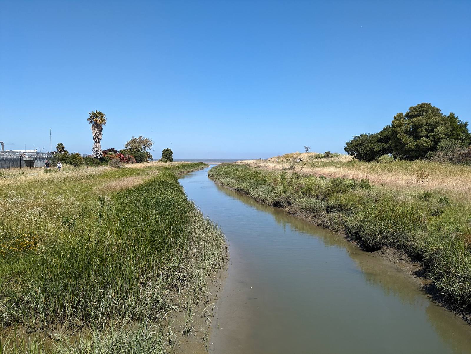
Photo above: Pinole Creek near its mouth in Pinole, California, 2024. Mx. Granger, CC0, via Wikimedia Commons.

You find out one address at a time, on two official maps: FEMA’s Flood Map Service Center for flood zones, and the state fire hazard map that took effect in Contra Costa on July 10, 2025. The City of Pinole says the city sits in a low flood zone, and the 2025 fire maps moved some Pinole Valley areas down to moderate, but a city-wide summary can’t tell you where one parcel lands.
Ten minutes with the two maps, then the seller’s Natural Hazard Disclosure. Here’s how to do each one.
How do I check the FEMA flood zone for a Pinole address?
Type the full street address into FEMA’s Flood Map Service Center at msc.fema.gov and open the flood map it returns. Look for the zone label on your parcel. Zones that start with A or V are Special Flood Hazard Areas, which is the flood category California’s Natural Hazard Disclosure form asks about (California Civil Code 1103.2, checked September 24, 2026).
Three tips from doing this a lot:
- Zoom in until you can see your lot lines. Pinole Creek and the shoreline near the bay are where you want to look closest.
- Print or save the map panel with the date. It is useful when you talk to an insurance agent.
- A zone outside A or V does not mean water can’t reach the house. It means FEMA did not map it as a special flood hazard area.
What does the City of Pinole say about flooding?
The city’s stormwater page says Pinole “is located in a low flood zone,” and that some areas can see flooding during high tides and heavy rain seasons (City of Pinole, Stormwater and Drainage page, checked September 24, 2026). The same page sends residents to FEMA to check a specific property.
When a storm is coming, the city puts out free sandbags at the back of the Plum and Peach Streets public parking lot off Tennent Avenue, first come, first served, while supplies last (City of Pinole, same page).
What fire hazard zone is my Pinole home in?
Look it up on the Fire Hazard Severity Zone viewer. Pinole’s fire service is the Contra Costa County Fire Protection District, called Con Fire (City of Pinole, Fire page, checked September 24, 2026), and Con Fire posts both a current FHSZ viewer and a before-and-after map on its Local Responsibility Area Maps page at cccfpd.org. Its list of city maps includes Pinole.
Here is the timeline, so you know which map is current:
- February 24, 2025. The Office of the State Fire Marshal, part of CAL FIRE, released the new local fire hazard maps for Contra Costa County (City of Concord, Fire Hazard Severity Zones page, checked September 24, 2026).
- March 24, 2025. The City of Pinole said its fire hazard maps had been updated for the first time since 2009, with some Pinole Valley areas now moderate instead of high or very high (City of Pinole news, March 24, 2025).
- July 10, 2025. Con Fire’s adopted maps took effect (Con Fire, Local Responsibility Area Maps page, checked September 24, 2026).
Two things changed with this round. The older local maps showed only very high zones. The new ones show moderate, high and very high. And under state law a local agency cannot lower a zone the State Fire Marshal set (Con Fire, same page, citing Government Code 51179).
The link printed in the city’s March 2025 notice no longer works. Use the viewer on Con Fire’s current page instead.
What does the Natural Hazard Disclosure tell me?
It is the seller’s disclosure of whether the home sits in six state or federal hazard areas. Under California Civil Code 1103.2, it covers:
- A FEMA Special Flood Hazard Area (any Zone A or V).
- An area of potential flooding on a dam failure inundation map.
- A high or very high Fire Hazard Severity Zone.
- A wildland area that may contain substantial forest fire risks.
- An earthquake fault zone.
- A seismic hazard zone, including landslide and liquefaction zones.
The section was last amended effective January 1, 2025 (California Legislative Information, Civil Code 1103.2, checked September 24, 2026).
Notice what is missing: a moderate fire zone is not on that list. So a Pinole Valley home that moved from high to moderate in 2025 may show no fire hazard box checked. Look at the viewer yourself anyway.
For earthquake zones, the state’s California Geological Survey has a free address lookup called EQ Zapp at conservation.ca.gov. If a line in the disclosure worries you, ask your agent to walk you through it, and ask a real estate attorney about anything legal.
Can a zone change my insurance?
Ask a licensed insurance agent or broker, not us. We don’t give insurance advice. What we can tell you is where to look:
- FEMA’s flood insurance site says “Most homeowners insurance does not cover flood damage” (FloodSmart.gov, checked September 24, 2026).
- The California Department of Insurance takes consumer questions at 1-800-927-4357 (California Department of Insurance, consumer help page, checked September 24, 2026).
Get real quotes for the specific address during your inspection period, before you remove contingencies. A surprise premium is much easier to handle then than after closing.
What can I do about fire risk around a Pinole home?
Start with the yard. In its March 2025 notice, the city asked residents to keep weeds and vegetation short, clear debris from roofs and gutters, and keep enough defensible space around the house (City of Pinole news, March 24, 2025). Con Fire runs the weed abatement program and posts its minimum standards on cccfpd.org.
If you’re buying, walk the lot line in person. Look at the slope behind the house and what’s growing on it.
Questions people also ask
Is Pinole in a flood zone?
The City of Pinole says the city is located in a low flood zone, and that some areas can flood during high tides and heavy rain, per its Stormwater and Drainage page, checked September 24, 2026. That is a city-wide description. For one home, enter the address at FEMA’s Flood Map Service Center, msc.fema.gov, and read the zone on that parcel.
Did Pinole’s fire hazard zones change?
Yes. The State Fire Marshal released new Contra Costa maps on February 24, 2025, and Con Fire’s adopted maps took effect July 10, 2025. The City of Pinole said some Pinole Valley areas moved from high or very high down to moderate. It was the first update since 2009, per the city’s March 24, 2025 notice.
Does the Natural Hazard Disclosure show moderate fire zones?
No. California Civil Code 1103.2 asks about high or very high Fire Hazard Severity Zones, plus FEMA flood zones A or V, dam inundation areas, wildland fire areas, earthquake fault zones and seismic hazard zones. A moderate zone is not one of the six boxes, so check the Con Fire viewer for the exact address yourself.
Where is the fire hazard map for Pinole?
Go to Con Fire’s Local Responsibility Area Maps page at cccfpd.org. It links to a Fire Hazard Severity Zone viewer and a before-and-after map, and lists a map for Pinole. The link in the City of Pinole’s March 2025 notice no longer works, so start from Con Fire’s current page.
Your next step
Send us the Pinole address you’re looking at. We’ll pull the FEMA panel, the fire zone and the disclosure package, and go through them with you before you commit. Ask a Pinole agent on our team or call (510) 949-5525.
More on Pinole: Living in Pinole, CA · Downsides of living in Pinole · What’s my home worth?
By Bill Davis, DRE #01880656, The Davis Team at eXp Realty, Pinole, CA. Updated September 24, 2026.
Sources
- FEMA Flood Map Service Center: msc.fema.gov (checked September 24, 2026)
- FEMA, FloodSmart: floodsmart.gov (checked September 24, 2026)
- City of Pinole, Stormwater and Drainage: pinole.gov/stormwater-drainage (checked September 24, 2026)
- City of Pinole, Fire: pinole.gov/departments/fire (checked September 24, 2026)
- City of Pinole news, “Pinole Fire Hazard Severity Zones Re-Classified as Moderate,” March 24, 2025: pinole.gov
- Contra Costa County Fire Protection District, Local Responsibility Area Maps, with FHSZ viewer and before-and-after map: cccfpd.org/205/Local-Responsibility-Area-Maps (checked September 24, 2026)
- City of Concord, Fire Hazard Severity Zones: cityofconcord.org/1285/Fire-Hazard-Severity-Zones (checked September 24, 2026)
- California Civil Code 1103.2, Natural Hazard Disclosure Statement: leginfo.legislature.ca.gov (checked September 24, 2026)
- California Geological Survey, EQ Zapp: conservation.ca.gov/cgs/geohazards/eq-zapp (checked September 24, 2026)
- California Department of Insurance, consumer help: insurance.ca.gov (checked September 24, 2026)